
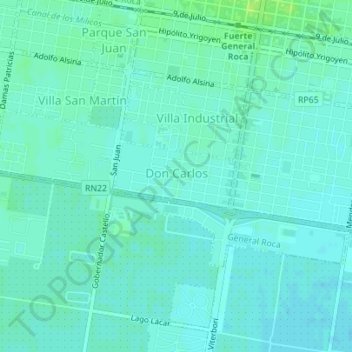
Don Carlos topographic map
Interactive map
Click on the map to display elevation.
About this map
Name: Don Carlos topographic map, elevation, terrain.
Average elevation: 235 m
Minimum elevation: 231 m
Maximum elevation: 243 m
Other topographic maps
Click on a map to view its topography, its elevation and its terrain.
General Roca
Argentina > RN > General Roca
General Roca, Departamento General Roca, RN, Argentina
Average elevation: 246 m