
Tasman National Park topographic map
Interactive map
Click on the map to display elevation.
About this map
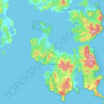
Name: Tasman National Park topographic map, elevation, terrain.
Average elevation: 55 m
Minimum elevation: -2 m
Maximum elevation: 573 m
Other topographic maps
Click on a map to view its topography, its elevation and its terrain.
Cape Raoul
Australia > Tasmania > Stormlea
Cape Raoul, Cape Raoul Track, Stormlea, Tasmania, Australia
Average elevation: 23 m