
Woodridge topographic map
Interactive map
Click on the map to display elevation.
About this map
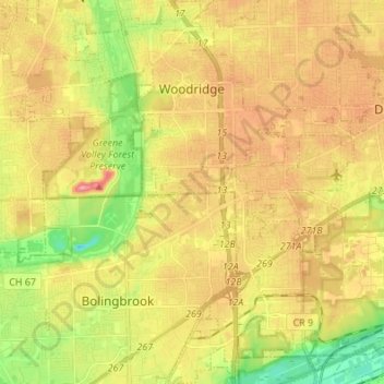
Name: Woodridge topographic map, elevation, terrain.
Location: Woodridge, DuPage County, Illinois, United States (41.67832 -88.08674 41.77953 -88.00125)
Average elevation: 220 m
Minimum elevation: 165 m
Maximum elevation: 270 m
Other topographic maps
Click on a map to view its topography, its elevation and its terrain.
Addison Township
United States > Illinois > DuPage County
Addison Township, DuPage County, Illinois, United States
Average elevation: 212 m
Naperville
United States > Illinois > DuPage County
Naperville, DuPage County, Illinois, United States
Average elevation: 214 m