
Lawes topographic map
Interactive map
Click on the map to display elevation.
About this map
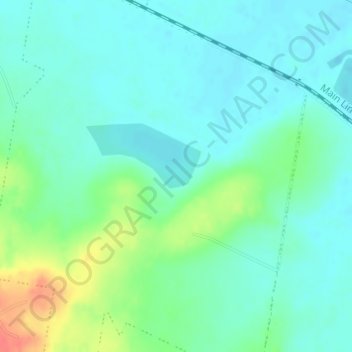
Name: Lawes topographic map, elevation, terrain.
Location: Lawes, Forest Hill, Queensland, Australia (-27.59056 152.31445 -27.57056 152.33445)
Average elevation: 101 m
Minimum elevation: 86 m
Maximum elevation: 142 m