
Voitsberg topographic map
Interactive map
Click on the map to display elevation.
About this map
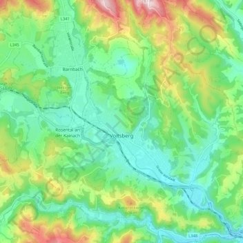
Name: Voitsberg topographic map, elevation, terrain.
Location: Voitsberg, Bezirk Voitsberg, Styria, 8570, Austria (47.01947 15.11350 47.08949 15.21279)
Average elevation: 480 m
Minimum elevation: 365 m
Maximum elevation: 736 m