
Claymont topographic map
Interactive map
Click on the map to display elevation.
About this map
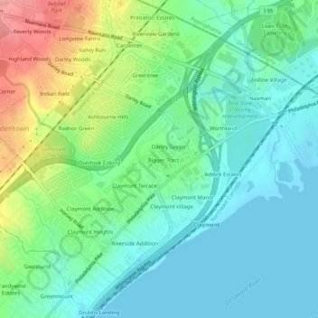
Name: Claymont topographic map, elevation, terrain.
Location: Claymont, New Castle County, Delaware, 19703, USA (39.79023 -75.48672 39.81913 -75.43679)
Average elevation: 28 m
Minimum elevation: 0 m
Maximum elevation: 96 m