
Feakle topographic map
Interactive map
Click on the map to display elevation.
About this map
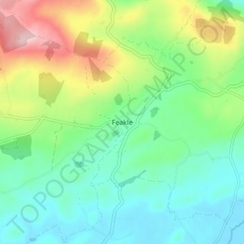
Name: Feakle topographic map, elevation, terrain.
Location: Feakle, County Clare, Munster, Ireland (52.90535 -8.66834 52.94535 -8.62834)
Average elevation: 109 m
Minimum elevation: 35 m
Maximum elevation: 272 m