
Linville topographic map
Interactive map
Click on the map to display elevation.
About this map
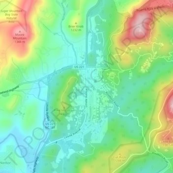
Name: Linville topographic map, elevation, terrain.
Location: Linville, Avery County, North Carolina, 28646, USA (36.04652 -81.89039 36.08652 -81.85039)
Average elevation: 1,178 m
Minimum elevation: 1,085 m
Maximum elevation: 1,365 m