
Mount Gessi topographic map
Interactive map
Click on the map to display elevation.
About this map
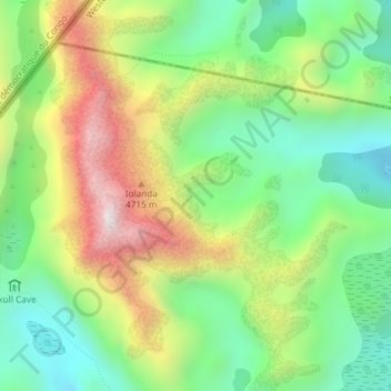
Name: Mount Gessi topographic map, elevation, terrain.
Location: Mount Gessi, Sindila, Bundibugyo, Western Region, Uganda (0.40625 29.91410 0.44303 29.94472)
Average elevation: 4,127 m
Minimum elevation: 3,735 m
Maximum elevation: 4,735 m