
Peoria topographic map
Interactive map
Click on the map to display elevation.
About this map
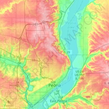
Name: Peoria topographic map, elevation, terrain.
Location: Peoria, Peoria County, Illinois, USA (40.65194 -89.69892 40.84409 -89.54649)
Average elevation: 189 m
Minimum elevation: 130 m
Maximum elevation: 251 m