
Cửa Lò topographic map
Interactive map
Click on the map to display elevation.
About this map
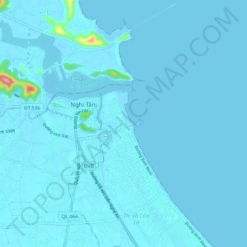
Name: Cửa Lò topographic map, elevation, terrain.
Location: Cửa Lò, Nghe An province, Vietnam (18.77989 105.67659 18.85989 105.75659)
Average elevation: 6 m
Minimum elevation: -3 m
Maximum elevation: 182 m