
Breakfast Creek topographic map
Interactive map
Click on the map to display elevation.
About this map
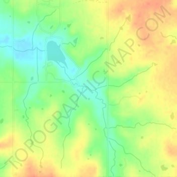
Name: Breakfast Creek topographic map, elevation, terrain.
Location: Breakfast Creek, Lincoln County, Oklahoma, 74869, USA (35.56360 -96.80899 35.56423 -96.80684)
Average elevation: 274 m
Minimum elevation: 251 m
Maximum elevation: 294 m
Other topographic maps
Click on a map to view its topography, its elevation and its terrain.
Razorback Mountain
Razorback Mountain, Pushmataha County, Oklahoma, 74557, USA
Average elevation: 231 m