
Lewisville topographic map
Interactive map
Click on the map to display elevation.
About this map
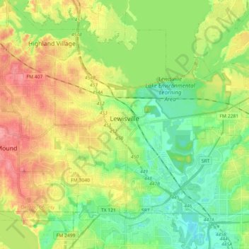
Name: Lewisville topographic map, elevation, terrain.
Location: Lewisville, Denton County, Texas, USA (32.98512 -97.04566 33.10003 -96.86587)
Average elevation: 160 m
Minimum elevation: 129 m
Maximum elevation: 202 m