
Red Lake topographic map
Interactive map
Click on the map to display elevation.
About this map
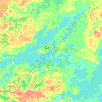
Name: Red Lake topographic map, elevation, terrain.
Location: Red Lake, Kenora District, Ontario, Canada (50.93076 -93.96641 51.19258 -93.48593)
Average elevation: 382 m
Minimum elevation: 352 m
Maximum elevation: 461 m