
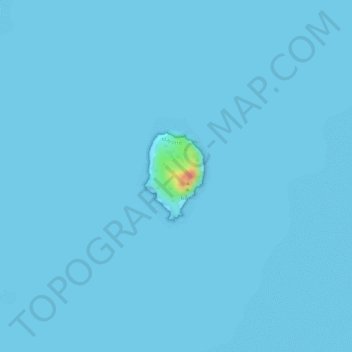
Chissioua Bandrélé topographic map
Interactive map
Click on the map to display elevation.
About this map
Name: Chissioua Bandrélé topographic map, elevation, terrain.
Location: Chissioua Bandrélé, Bandrélé, Mayotte, 97620, France (-12.90187 45.22951 -12.89506 45.23423)
Average elevation: 1 m
Minimum elevation: 0 m
Maximum elevation: 65 m
Other topographic maps
Click on a map to view its topography, its elevation and its terrain.