
McKellar topographic map
Interactive map
Click on the map to display elevation.
About this map
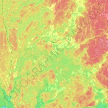
Name: McKellar topographic map, elevation, terrain.
Location: McKellar, Parry Sound District, Ontario, P0G 1C0, Canada (45.40815 -79.96990 45.57264 -79.73473)
Average elevation: 258 m
Minimum elevation: 200 m
Maximum elevation: 308 m