
Schloss Neuhaus topographic map
Interactive map
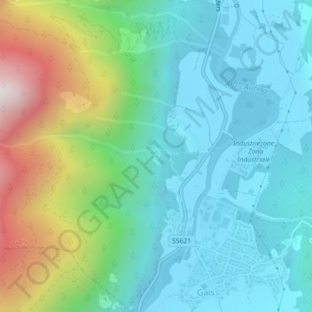
Click on the map to display elevation.
About this map
Name: Schloss Neuhaus topographic map, elevation, terrain.
Average elevation: 1,115 m
Minimum elevation: 826 m
Maximum elevation: 1,961 m
Other topographic maps
Click on a map to view its topography, its elevation and its terrain.
Blossberg
Italien > Trentino-Südtirol > Bozen > Gais
Blossberg, Gais, Pustertal, Bozen, Trentino-Südtirol, 39032, Italien
Average elevation: 2,230 m