
Cannons Creek topographic map
Interactive map
Click on the map to display elevation.
About this map
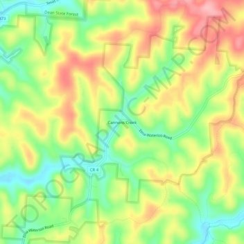
Name: Cannons Creek topographic map, elevation, terrain.
Location: Cannons Creek, Lawrence County, Ohio, 45659, United States (38.62897 -82.64544 38.66897 -82.60544)
Average elevation: 248 m
Minimum elevation: 185 m
Maximum elevation: 316 m