
Inverarnan topographic map
Interactive map
Click on the map to display elevation.
About this map
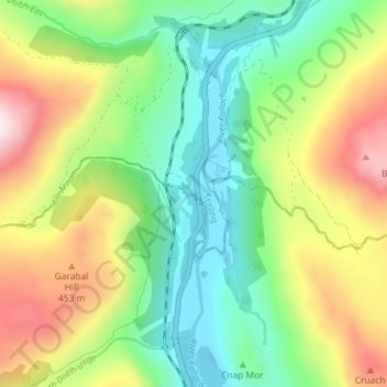
Name: Inverarnan topographic map, elevation, terrain.
Location: Inverarnan, Stirling, Scotland, G83 7DX, United Kingdom (56.30818 -4.74287 56.34818 -4.70287)
Average elevation: 245 m
Minimum elevation: -6 m
Maximum elevation: 653 m