
Iredale topographic map
Interactive map
Click on the map to display elevation.
About this map
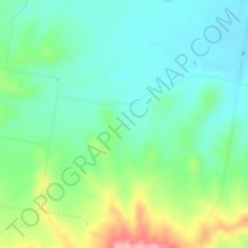
Name: Iredale topographic map, elevation, terrain.
Location: Iredale, Helidon, Queensland, Australia (-27.58944 152.09640 -27.56944 152.11640)
Average elevation: 179 m
Minimum elevation: 136 m
Maximum elevation: 281 m
Other topographic maps
Click on a map to view its topography, its elevation and its terrain.
Helidon
Australia > Queensland > Helidon
Helidon, Lockyer Valley Regional, Queensland, 4344, Australia
Average elevation: 152 m