
Kambalda East topographic map
Interactive map
Click on the map to display elevation.
About this map
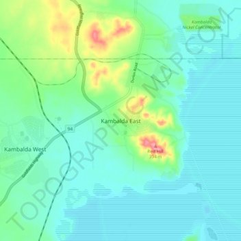
Name: Kambalda East topographic map, elevation, terrain.
Location: Kambalda East, Western Australia, Australia (-31.24182 121.62019 -31.16182 121.70019)
Average elevation: 307 m
Minimum elevation: 284 m
Maximum elevation: 389 m