
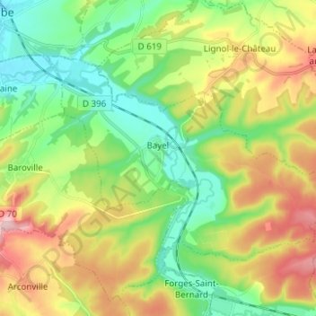
Bayel topographic map
Interactive map
Click on the map to display elevation.
About this map
Name: Bayel topographic map, elevation, terrain.
Average elevation: 239 m
Minimum elevation: 166 m
Maximum elevation: 356 m
Other topographic maps
Click on a map to view its topography, its elevation and its terrain.
La Belle Idée
France > Grand Est > Aube > Bayel
La Belle Idée, Bayel, Bar-sur-Aube, Aube, Grand Est, France métropolitaine, 10310, France
Average elevation: 216 m