
Hallandale Beach topographic map
Interactive map
Click on the map to display elevation.
About this map
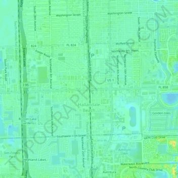
Name: Hallandale Beach topographic map, elevation, terrain.
Location: Hallandale Beach, Broward County, Florida, USA (25.97381 -80.16559 25.99749 -80.11262)
Average elevation: 7 m
Minimum elevation: 0 m
Maximum elevation: 26 m