
Westlake topographic map
Interactive map
Click on the map to display elevation.
About this map
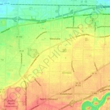
Name: Westlake topographic map, elevation, terrain.
Location: Westlake, Cuyahoga County, Ohio, United States (41.41105 -81.97026 41.47804 -81.87365)
Average elevation: 218 m
Minimum elevation: 188 m
Maximum elevation: 242 m