
Bradwall topographic map
Interactive map
Click on the map to display elevation.
About this map
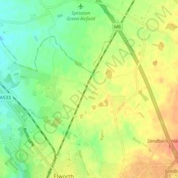
Name: Bradwall topographic map, elevation, terrain.
Average elevation: 57 m
Minimum elevation: 37 m
Maximum elevation: 77 m
Other topographic maps
Click on a map to view its topography, its elevation and its terrain.
Hollinsgreen
United Kingdom > England > Hollinsgreen
Hollinsgreen, Cheshire East, North West England, England, CW10 0LA, United Kingdom
Average elevation: 52 m