
Westhove topographic map
Interactive map
Click on the map to display elevation.
About this map
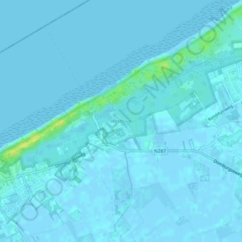
Name: Westhove topographic map, elevation, terrain.
Average elevation: 1 m
Minimum elevation: -3 m
Maximum elevation: 17 m
Other topographic maps
Click on a map to view its topography, its elevation and its terrain.
Joossesweg
Nederland > Zeeland > Veere > Joossesweg
Joossesweg, Zeeland, Nederland, 4361KL, Nederland
Average elevation: 0 m