
Boorabbin National Park topographic map
Interactive map
Click on the map to display elevation.
About this map
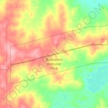
Name: Boorabbin National Park topographic map, elevation, terrain.
Average elevation: 426 m
Minimum elevation: 375 m
Maximum elevation: 488 m
Other topographic maps
Click on a map to view its topography, its elevation and its terrain.
Southern Cross
Australia > Western Australia > Southern Cross
Southern Cross, Shire Of Yilgarn, Western Australia, Australia
Average elevation: 355 m