
Statesboro topographic map
Interactive map
Click on the map to display elevation.
About this map
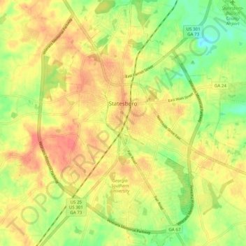
Name: Statesboro topographic map, elevation, terrain.
Location: Statesboro, Bulloch County, Georgia, USA (32.40111 -81.80676 32.48358 -81.73152)
Average elevation: 66 m
Minimum elevation: 37 m
Maximum elevation: 86 m