
Jerramungup topographic map
Interactive map
Click on the map to display elevation.
About this map
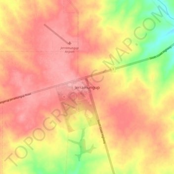
Name: Jerramungup topographic map, elevation, terrain.
Location: Jerramungup, Western Australia, 6337, Australia (-33.98237 118.88139 -33.90237 118.96139)
Average elevation: 292 m
Minimum elevation: 225 m
Maximum elevation: 327 m