
Казах topographic map
Interactive map
Click on the map to display elevation.
About this map
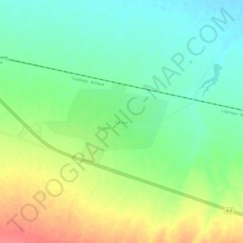
Name: Казах topographic map, elevation, terrain.
Location: Казах, Turar Ryskulov District, Jambyl Region, Kazakhstan (42.89251 72.89894 42.93251 72.93894)
Average elevation: 721 m
Minimum elevation: 696 m
Maximum elevation: 760 m