
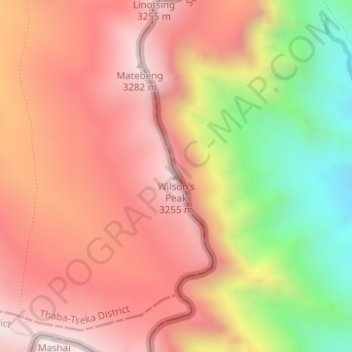
Wilson's Peak topographic map
Interactive map
Click on the map to display elevation.
About this map
Name: Wilson's Peak topographic map, elevation, terrain.
Location: Wilson's Peak, Thaba-Tseka District, Lesotho (-29.72667 29.14841 -29.72657 29.14851)
Average elevation: 2,915 m
Minimum elevation: 2,327 m
Maximum elevation: 3,298 m
Other topographic maps
Click on a map to view its topography, its elevation and its terrain.
Katse Dam
Lesotho > Thaba-Tseka District
Katse Dam, Thaba-Tseka District, Lesotho
Average elevation: 2,108 m
Ha Long
Lesotho > Thaba-Tseka District > Ha Long
Ha Long, Thaba-Tseka District, Lesotho
Average elevation: 2,412 m