
Eisteddfa Gurig topographic map
Interactive map
Click on the map to display elevation.
About this map
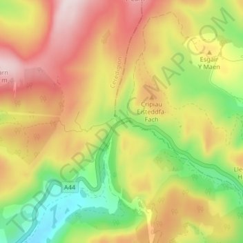
Name: Eisteddfa Gurig topographic map, elevation, terrain.
Location: Eisteddfa Gurig, Ceredigion, Wales, SY23 3LE, United Kingdom (52.42130 -3.78980 52.46130 -3.74980)
Average elevation: 481 m
Minimum elevation: 272 m
Maximum elevation: 688 m