
Ulandra Nature Reserve topographic map
Interactive map
Click on the map to display elevation.
About this map
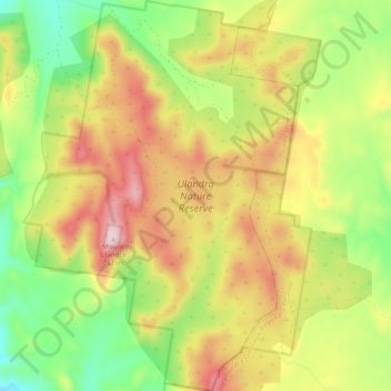
Name: Ulandra Nature Reserve topographic map, elevation, terrain.
Average elevation: 510 m
Minimum elevation: 306 m
Maximum elevation: 746 m
Other topographic maps
Click on a map to view its topography, its elevation and its terrain.
Bethungra
Australia > New South Wales > Bethungra
Bethungra, Junee Shire Council, New South Wales, Australia
Average elevation: 340 m