
Bickerton Island topographic map
Interactive map
Click on the map to display elevation.
About this map
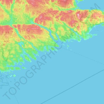
Name: Bickerton Island topographic map, elevation, terrain.
Average elevation: 37 m
Minimum elevation: -1 m
Maximum elevation: 230 m
Other topographic maps
Click on a map to view its topography, its elevation and its terrain.
The Doughboy
Canada > Nova Scotia > Port Bickerton
The Doughboy, Port Bickerton, St. Mary's District Municipality, Guysborough County, Nova Scotia, Canada
Average elevation: 39 m