
Manteo topographic map
Interactive map
Click on the map to display elevation.
About this map
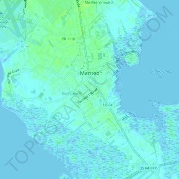
Name: Manteo topographic map, elevation, terrain.
Location: Manteo, Dare County, North Carolina, United States (35.89005 -75.68032 35.91999 -75.63723)
Average elevation: 2 m
Minimum elevation: -4 m
Maximum elevation: 9 m