
Beaver County topographic map
Interactive map
Click on the map to display elevation.
About this map
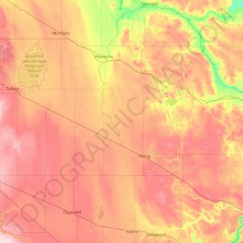
Name: Beaver County topographic map, elevation, terrain.
Location: Beaver County, Alberta, Canada (52.93042 -113.04942 53.54147 -111.40664)
Average elevation: 695 m
Minimum elevation: 593 m
Maximum elevation: 831 m