
Kanaal Plassendale - Duinkerken topographic map
Interactive map
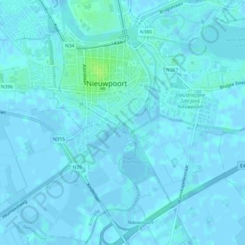
Click on the map to display elevation.
About this map
Name: Kanaal Plassendale - Duinkerken topographic map, elevation, terrain.
Average elevation: 1 m
Minimum elevation: -3 m
Maximum elevation: 10 m
Other topographic maps
Click on a map to view its topography, its elevation and its terrain.
IJzer
België > Vlaanderen > Nieuwpoort
IJzer, Robert Orlentpromenade, Nieuwpoort, Veurne, West-Vlaanderen, Vlaanderen, 8620, België
Average elevation: 3 m