
Duck Island topographic map
Interactive map
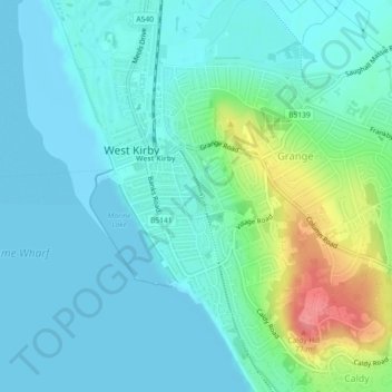
Click on the map to display elevation.
About this map
Name: Duck Island topographic map, elevation, terrain.
Average elevation: 17 m
Minimum elevation: -1 m
Maximum elevation: 78 m
Other topographic maps
Click on a map to view its topography, its elevation and its terrain.
Wirral
United Kingdom > England > Wirral
Wirral, North West England, England, United Kingdom
Average elevation: 21 m