
Misson topographic map
Interactive map
Click on the map to display elevation.
About this map
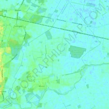
Name: Misson topographic map, elevation, terrain.
Average elevation: 4 m
Minimum elevation: -1 m
Maximum elevation: 17 m
Other topographic maps
Click on a map to view its topography, its elevation and its terrain.
Styrrup with Oldcotes
United Kingdom > England > Bassetlaw > Nottinghamshire
Styrrup with Oldcotes, Bassetlaw, Nottinghamshire, East Midlands, England, United Kingdom
Average elevation: 24 m