
Manzaneda topographic map
Interactive map
Click on the map to display elevation.
About this map
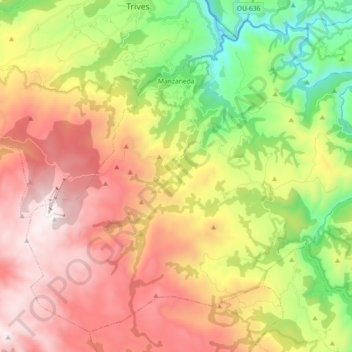
Name: Manzaneda topographic map, elevation, terrain.
Location: Manzaneda, Terra de Trives, Ourense, Galicia, Spain (42.21360 -7.31269 42.33286 -7.13046)
Average elevation: 1,016 m
Minimum elevation: 300 m
Maximum elevation: 1,773 m