
Darab topographic map
Interactive map
Click on the map to display elevation.
About this map
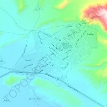
Name: Darab topographic map, elevation, terrain.
Location: Darab, بخش مرکزی, Darab County, Fars Province, 74816, Iran (28.71319 54.50815 28.79319 54.58815)
Average elevation: 1,229 m
Minimum elevation: 1,087 m
Maximum elevation: 2,090 m