
Gorham topographic map
Interactive map
Click on the map to display elevation.
About this map
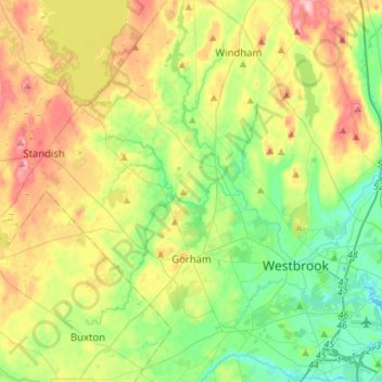
Name: Gorham topographic map, elevation, terrain.
Location: Gorham, Cumberland County, Maine, 04038, United States (43.61422 -70.54660 43.81699 -70.37834)
Average elevation: 64 m
Minimum elevation: -1 m
Maximum elevation: 171 m