
Horsecamp topographic map
Interactive map
Click on the map to display elevation.
About this map
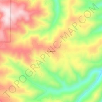
Name: Horsecamp topographic map, elevation, terrain.
Location: Horsecamp, Shoshone County, Idaho, United States (47.17131 -115.90182 47.21131 -115.86182)
Average elevation: 1,211 m
Minimum elevation: 955 m
Maximum elevation: 1,440 m