
Jackeys Marsh topographic map
Interactive map
Click on the map to display elevation.
About this map
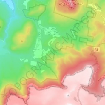
Name: Jackeys Marsh topographic map, elevation, terrain.
Location: Jackeys Marsh, Meander Valley, Tasmania, Australia (-41.74675 146.61590 -41.65605 146.72815)
Average elevation: 760 m
Minimum elevation: 300 m
Maximum elevation: 1,303 m
Tasmania trails, hiking, mountain biking, running and outdoor activities