
Korweinguboora topographic map
Interactive map
Click on the map to display elevation.
About this map
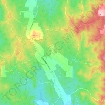
Name: Korweinguboora topographic map, elevation, terrain.
Location: Korweinguboora, Shire of Moorabool, Victoria, Australia (-37.47417 144.08313 -37.40883 144.20102)
Average elevation: 675 m
Minimum elevation: 589 m
Maximum elevation: 817 m
Victoria trails, hiking, mountain biking, running and outdoor activities