
Guthridge topographic map
Interactive map
Click on the map to display elevation.
About this map
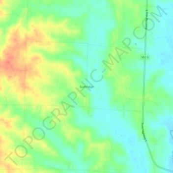
Name: Guthridge topographic map, elevation, terrain.
Location: Guthridge, Chariton County, Missouri, United States (39.52364 -92.99714 39.56364 -92.95714)
Average elevation: 221 m
Minimum elevation: 202 m
Maximum elevation: 250 m