
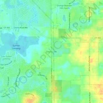
Cherry Lake topographic map
Interactive map
Click on the map to display elevation.
About this map
Name: Cherry Lake topographic map, elevation, terrain.
Location: Cherry Lake, Lake County, Florida, 32159, United States (28.89082 -81.97369 28.93082 -81.93369)
Average elevation: 26 m
Minimum elevation: 12 m
Maximum elevation: 48 m