
Rehovot topographic map
Interactive map
Click on the map to display elevation.
About this map
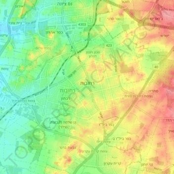
Name: Rehovot topographic map, elevation, terrain.
Location: Rehovot, Rehovot Subdistrict, Center District, Israel (31.86636 34.76219 31.92052 34.85114)
Average elevation: 54 m
Minimum elevation: 14 m
Maximum elevation: 102 m
Other topographic maps
Click on a map to view its topography, its elevation and its terrain.