
Thank you for supporting this site ❤️
Make a donation
Make a donation
Gear up for your next adventure:
As an Amazon Associate, this site earns from qualifying purchases at no extra cost to you.
Sulitjelma topographic map
Click on the map to display elevation.
Thank you for supporting this site ❤️
Make a donation
Make a donation
Gear up for your next adventure:
As an Amazon Associate, this site earns from qualifying purchases at no extra cost to you.
About this map
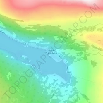
Name: Sulitjelma topographic map, elevation, terrain.
Location: Sulitjelma, Fauske, Nordland, 8230, Norway (67.11779 16.02601 67.15779 16.06601)
Average elevation: 394 m
Minimum elevation: 122 m
Maximum elevation: 988 m
Thank you for supporting this site ❤️
Make a donation
Make a donation
Gear up for your next adventure:
As an Amazon Associate, this site earns from qualifying purchases at no extra cost to you.