
La Sille topographic map
Interactive map
Click on the map to display elevation.
About this map
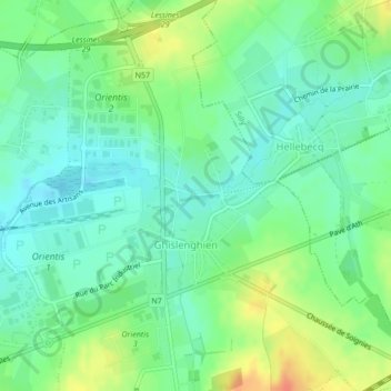
Name: La Sille topographic map, elevation, terrain.
Location: La Sille, Ghislenghien, Ath, Hainaut, Wallonia, 7822, Belgium (50.66001 3.87669 50.66006 3.87733)
Average elevation: 45 m
Minimum elevation: 29 m
Maximum elevation: 73 m